-
The platform does everything we’d want it to do. It is simple to use, the development team has been receptive to suggestions and the customer service is outstanding.
Sr. Product Design EngineerTop Utility Located in the Upper Midwest
-
Irth has consistently helped our company save millions of dollars a year by vastly reducing the number of crews we need to dispatch to our 811 locates.
VP of OperationsFortune 500 Telecommunications
-
I use this platform on an everyday basis. It is a very user-friendly tool. Dashboards, reporting, mapping and much more. The field locators tell me every week that they wish we had started using it long ago.
Regulatory Compliance EngineerTop Utility Located in the Southeast
-
This platform has taken our pipeline division from several manual paper/Excel processes to an automated, digital platform. Reports are easier to run, the platform is surprisingly flexible and customer support is wonderful.
Sr. Director of Operations and EngineeringFortune 500 Energy Company
Platform Overview
For decades, we have been leveraging the latest technology to assist our customers in ensuring the safety, resiliency, and reliability of their critical network infrastructure. We offer a wide range of features and technical capabilities encompassing damage prevention, risk analysis, and network infrastructure asset protection, all integrated into a powerful platform.



UtiliSphere™ Sketching Tool Enables Comprehensive Communication
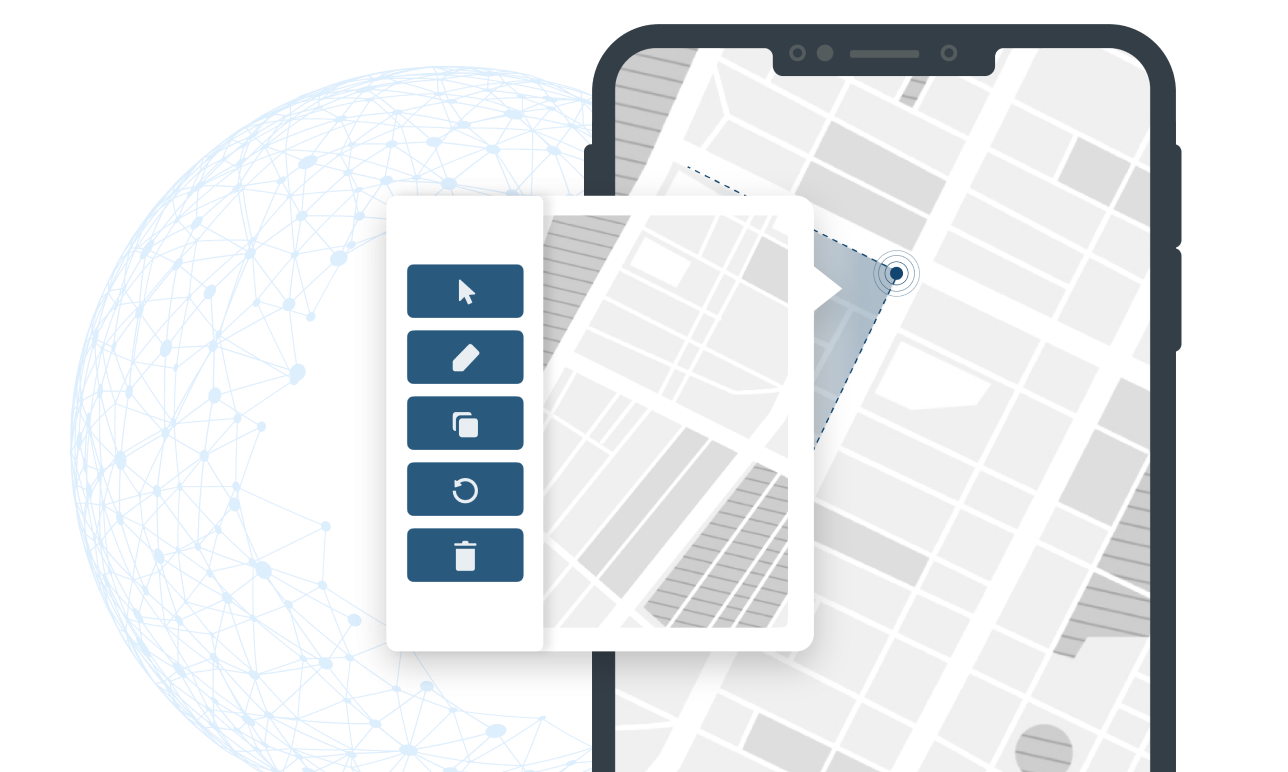
Enhance protection of your critical network infrastructure by creating a more complete picture of what’s transpiring in the field with UtiliSphere’s Sketching tool.
When locators are out in the field, they need a flexible tool to clearly note details or make corrections about an asset, location or markings — whether they have internet access or not. With Sketching, users can start from a blank canvas, an image or a map and then add specifics by freehand or use the drawing tool to select shapes, lines, arrows and more. UtiliSphere’s Sketching tool enables companies to improve or ensure accurate record keeping.
Request a Demo
Powerful Benefits of Sketching

Request a demo today to see how Irth Solutions can help you drive your zero-damage efforts.

Irth's market-leading SaaS platform improves resilience and reduces risk in the sustainable delivery of essential services that millions of people and businesses rely on every day. Energy, utility, and telecom companies across the U.S. and Canada trust Irth for damage prevention, training, asset inspections, and land management solutions. Powered by business intelligence, analytics, and geospatial data, our platform helps deliver the 360-degree situational awareness needed to proactively mitigate and manage risk of critical network infrastructure in a changing environment. Irth has been the top provider for 811 (one call) ticket management and utility locating software since 1995.
© 2024 Irth Solutions, L.L.C. All rights reserved | Terms of Service | Privacy Policy


